- To obtain high resolution images of the Martian surface
- Characterize the structure and composition of the atmosphere and surface
- Search for evidence of life.

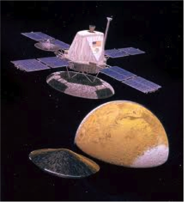
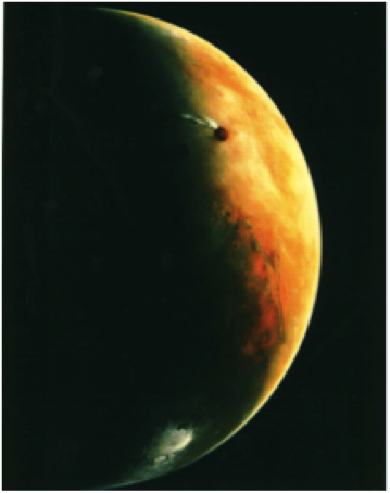
NASA's Viking Mission to Mars was composed of two spacecraft, Viking 1 and Viking 2, each consisting of an orbiter and a lander. The orbiters mapped the surface of Mars at a resolution of 150 to 300 meters. Some areas were imaged at 8 meter resolution. The landers obtained high resolution surface images and analyzed surface samples for signs of life. Weather stations and seismometers returned data.
Viking 2 arrived at Mars on August 7, 1976. The lander touched sat down in Utopia Planitia (47.97° N, 225.74° W) on September 3, 1976. The orbiter operated until July 25, 1978 and the lander continued until April 8, 1980.
For more information on the Viking 2 mission see the following links:
Instrumentation and Access to Data:
IRTM 15 μm, ~0.5 millibar pressure level atmospheric temperature
Mars Atmospheric Water Detector (MAWD)
Clouds (from IRTM)
Clouds (from imaging)
Surface Temperature and Albedo (IRTM; In PDS at Atmospheres Node) ))
Useful Reference
Viking 2 arrived at Mars on August 7, 1976. The lander touched sat down in Utopia Planitia (47.97° N, 225.74° W) on September 3, 1976. The orbiter operated until July 25, 1978 and the lander continued until April 8, 1980.
The primary mission objectives were
For more information on the Viking 2 mission see the following links:
Instrumentation and Access to Data:
IRTM 15 μm, ~0.5 millibar pressure level atmospheric temperature
Mars Atmospheric Water Detector (MAWD)
Clouds (from IRTM)
Clouds (from imaging)
Surface Temperature and Albedo (IRTM; In PDS at Atmospheres Node) ))
Useful Reference
"Scientific Results of the Viking Project", vol. 82, no. 28, the Journal of Geophysical Res. Sept 30, 1977
 PDS: The Planetary Atmospheres Node


