
Cassini Jupiter and Saturn Global Map Page
Brief description of the data
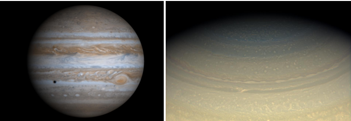
Data from the Cassini Imaging Subsystem (ISS) archive was searched to find high resolution multicolor maps of the Jovian atmosphere. As a result, 4-color maps were generated ranging from UV to Near IR.
Characteristics of the Data Set
| Filter 1 | Central Wavelength | Bandpass FWHM (nm) | Effective Wavelength | Number of Maps | ||||||||||
| UV1 | 258.098 | 37.9542 | 266.321 | 3 | ||||||||||
| BL1 | 450.851 | 102.996 | 455.471 | 6 | ||||||||||
| CB2 | 750.505 | 10.0129 | 750.495 | 2 | ||||||||||
| MT3 | 889.194 | 10.472 | 889.196 | 4 | ||||||||||
The data is accompanied with browse files and image information files
References
Porco, C. C., and 19 colleagues, 2004. Cassini Imaging Science: Instrument characteristics and anticipated scientific investigations at Saturn, Space Sci. Rev. 115, 363-497.
Citing data sets for publication:
Li, Liming (2023), Cassini ISS Global Maps of Jupiter and Saturn Bundle, NASA Planetary Data System, https://doi.org/10.17189/rkkb-6y30.
 PDS: The Planetary Atmospheres Node

